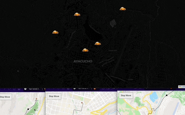
Real-Time Vehicle Tracking with Kafka
Implemented an ETL process for real-time vehicle tracking with Kafka, enabling an admin interface to monitor movements and a client app to send live locations.
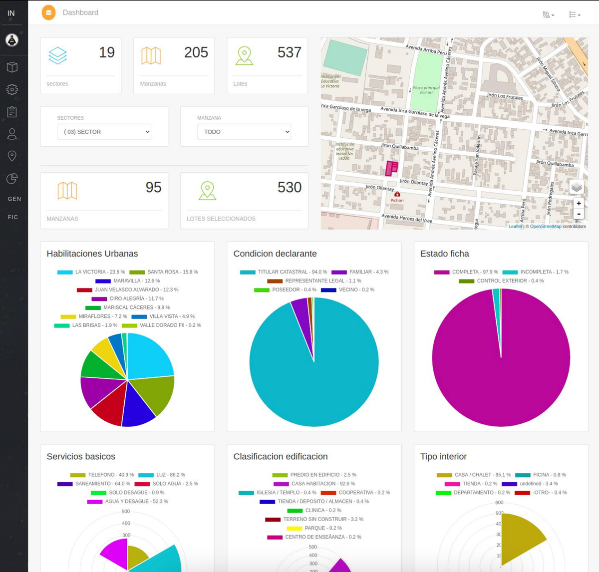
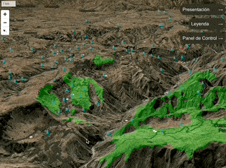
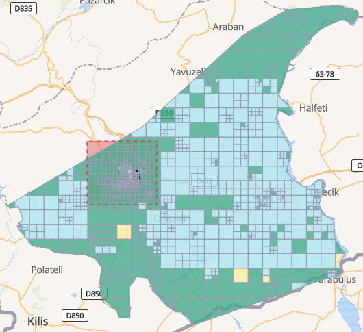
Gis Catastre software
I structured the cadastral information of a local government with a geospatial application.
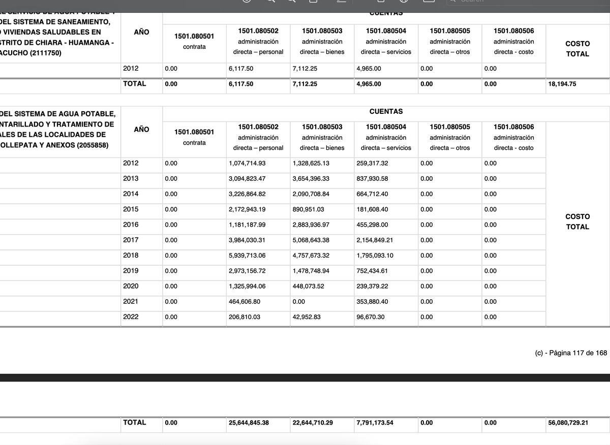
Clean data - GRA
With a Notebook, I Structured the Governmental Accounting Records of an Accounting Office of a Local Government.
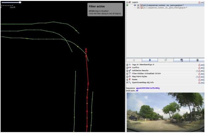
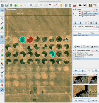
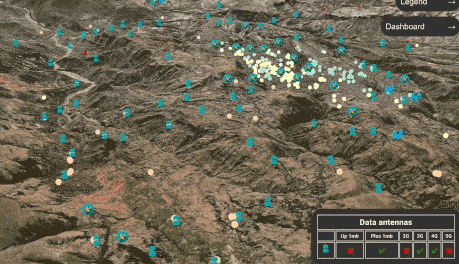
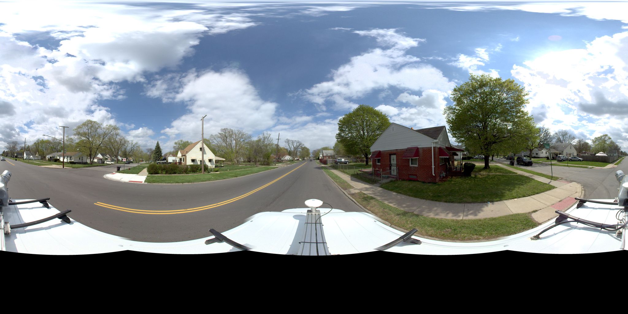
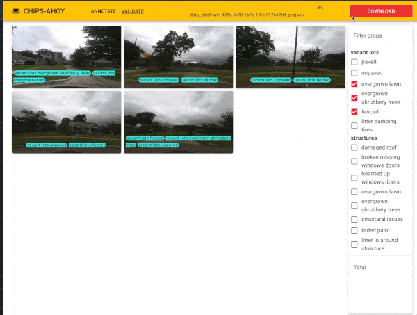
Josm Magic Wand plugin
I developed a plugin for JOSM that streamlines the process of cleaning Mapillary images by removing unnecessary sequences. Each sequence corresponds to the movement direction of a vehicle.
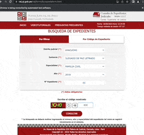
Web scraping - cej
I played with python and did web scraping, bypassing cache and sessions that did not allow a normal user to browse freely.